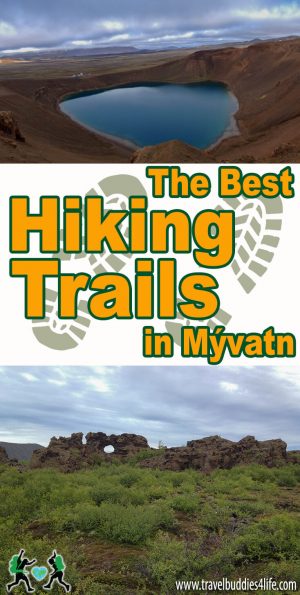
I never went to space school, in fact the closest I ever came was a week spent in science camp during my summer break. For those who have always wanted to go to space and didn’t quite make the cut, I’m here to tell you, driving through the black sand dune fields of Mývatn made me feel like I was on another planet. Houston we have landed on the moon!
It was early afternoon when we pulled into the town of Mývatn and we had been watching the landscape change for a few hours. Mountains and cliffs flattened out into rolling hills and the lush green mosses we had become so familiar with seeing became black sand dunes stretching out into the horizon. The only thing missing from this picture was somebody running around in an astronaut suit.
Mývatn is located on the opposite side of Iceland to Reykjavik, our trips starting point. Unlike the bitter cold and rainy weather we had been experiencing to date, the Mývatn region seemed uncannily warm and sheltered from the wind. We found a camping spot overlooking the town and lake pretty easily given that there were only three options in the area. For the next 2 days we enjoyed hiking to our hearts contempt in the amazing Mývatn area. Check out a synopsis of some of our favourite spots.
A desert landscape due to the high concentration of sulfur in the air, the Námaskarð Sulfur Fields stay true to their nickname “Hell’s Kitchen”. A surreal place of smoking fumaroles and boiling mud pits, Námaskarð can’t help but baffle the minds of tourists with its unearthly appearance and potent odor. Depending on what hikes you plan on accomplishing, the Námaskarð Sulphur Fields are open year round and can take from 30 minutes to an hour to fully absorb. Prepare to have your mind blown out of this world.
Location:
A short 15 minute car ride outside of Mývatn, head northeast on Þjóðvegur for 5.6 kilometer. At the “T” intersection turn right onto Kísilvegur/Þjóðvegur for 3.9 kilometers. When you reach the “T” by the lake turn left onto Þjóðvegur for 5.2 kilometers and then arrive at the destination.
Our Experience at Námaskarð Sulphur Fields:
Make sure you don’t breath too deeply when you check out the Námaskarð Sulfur Fields. The rotten egg smell, coming from the hydrogen sulfide gas that is burped out from the earth’s core, is very overpowering no matter where you walk in this vast smokey field. A place unlike any other, exploring the Námaskarð geothermal area was Joey and my first time witnessing boiling mud pots, steaming heat vents and colorful sulfur crystals in the flesh.
The Hverfjall Volcanic Crater is a tephra cone volcano situated on the east side of Mývatn. One of the largest explosion craters in the world, the view from the top is unrivaled, encompassing the entire Mývatn region including volcanoes, the lake, and geothermally active sites. Made up of black sand through and through, Hverfjall’s crater measures 1 kilometer in diameter and 140 meters in depth, taking the average hiker about 1 hour to climb and encircle the entire rim.
Location:
The Hverfjall Volcanic Crater is about 14 minutes from Mývatn. Start by heading south towards route 848 for 450 meters. Proceed straight through the intersection, turn left onto Kísilvegur/Þjóðvegur and drive for 900 meters. Continue straight on route 848 for about 3.5 kilometers then turn left onto Hverfjall Rd. Take a slight left after 1.3 kilometers and drive until the destination parking lot is reached.
Our Experience at Hverfjall Crater:
My first time visiting the Hverfjall made me realize you don’t need to be an astronaut to visit a crater. We ended up integrating sightseeing this crater with a small cardio workout. It was a steep climb to the rim of the crater and less than a minute after we had started our run I could already hear my heart pounding in my head. Things got much easier when we leveled off onto flat ground at the top and we couldn’t help but stop and take pictures of our incredible birds-eye view.
Dark fortress, dark castle, dark city, however you choose to translate it, the name Dimmuborgir can’t help but send shivers down your spine. A collection of lava columns and twisted black rock, this hiking sight is a true rarity of nature. Formed by a large volcanic eruption pooling across a lake over 2300 years ago, the remaining fragile hollow pillars are through to be cooled lava tubes left behind. Brittle and delicate in nature these formations are one-of-a-kind and can take a hiker anywhere from 30 minutes to 1 hour to explore.
Location:
The main town of Mývatn to Dimmuborgir take about 10 minutes by car. Following the lake head northeast on Þjóðveg for 5.6 kilometers, turn right onto Kísilvegur/Þjóðvegur, drive for 3. 9 kilometers, continue straight onto Route 848 for 4.8 kilometers and finally turn left onto Dimmuborgir.
Our Experience at Dimmuborgir:
It may have been the end of tourist season but we loved hiking through the strange and eerie structures of Dimmuborgir. It was really neat to hear about the ancient folklore of the homicidal troll named Grýla, her third husband Leppalúði and their sons The Yule Lads. While it use to be a scary story to tell Icelandic children to prevent misbehaving, the fable has long been merged with the Santa Clause legend. As interesting as the local fable was, my favourite part was finding out that Dimmuborgir was a location that was used in the filming of one of my favourite T.V shows Game of Thrones.
Steam vents, colourful mountains and a brilliantly blue lake, this place has it all. Situated on the edge of the Krafla volcano, Víti Crater was formed in 1724 and is surrounded by a geothermally active area that gives the mountain an array of color. In Icelandic Víti means hell, referencing how in the past people use to believe hell to be located underneath volcano’s. Contrary to the Hverfjall Volcanic Crater which is dry and dark in it’s center, the Víti Maa Crater contains a lake of impeccably blue water. From the parking lot the Víti Maa Crater hike can be done in about an hour, but often times, due to its remarkable scenery, trekkers take much longer.
Location:
The Krafla Volcano and Víti Maa Crater is found 20 minutes away from Mývatn. Head south towards route 848 for about 450 meters. At the intersection continue straight for 450 meters then turn left onto Kísilvegur/Þjóðvegur. After 900 meters turn left onto Þjóðvegur and drive for 5.9 kilometers. Along the highway turn left on an unmarked road and drive for 8.9 kilometers before arriving at the destination.
Our Experience at Víti Crater:
Seeing the Krafla Volcano and Víti Maa Crater is one way to really feel like you are sitting on top of Iceland. This hiking trail was so beautiful we hiked it not once, but twice during our stay in the Mývatn area. Not only do you get to hike a large crater on the Krafla volcano with a vivid blue lake in its center, but you can also see some boiling mud pots and sulphur crystals extending along some of the craters mounts. For those who don’t have much time on their hands, this hike really gives you the full Mývatn package.
Almost every postcard you can get of the Mývatn area has views from this hiking trail on it. With the surrounding landscape dominated by lava pillars, greenish-blue water, pseudo craters, this picture perfect spot was created by a fissure eruption pouring out basaltic lava 2300 years ago. Lake Mývatn literally translates to lake of midge (which is essentially a small fly), a surprisingly fitting name given the large amount of black flies that swarm the area. As annoying as the midge flies were, it’s thanks to these black flies that the lake and surrounding wetlands are rich in flora and fauna particularly ducks and water birds. This shallow eutrophic lake with a maximum depth of 2.5 meters has 13 different species of duck nesting in the area and over 2000 bird species that rely on the ecosystem provided by this region. An easy assortment of hiking trail that takes anywhere from 30 minutes to 3 hours, you can see gardens, forest, lava formations and pseudo craters.
Location:
The hiking trails for Lake Mývatn and Kálfastrandavogar are located close to the Dimmuborgir Lava Fields, about 10 minutes from Mývatn. Head south on Kísilvegur/Þjóðvegur toward Hlíðarvegur for about 300 meters. Continue straight onto Route 848 for 7 kilometers and the hiking trail parking can be found on your right side.
Our Experience hiking Lake Mývatn:
Make sure to bring a long sleeve shirt and pants or some bug spray when you head out to this site. The hiking trails in and around Lake Mývatn and Kálfastrandavogar are sensational, but the bugs are relentless and the closer we got to the lake the worst they became. Even though our trip was at the end of summer and the weather had been cold, we had to make sure to keep walking to avoid the cloud of bugs that followed us.
In love with hiking? Crazy about being outdoors? If the answer is “yes” the north-east side of Iceland is definitely worth a visit. From undemanding recreational trails by the lake, to challenging crater hikes, this place has something that will please even the most novice of trekkers. If you are headed to Iceland in the summer months make sure to mark the strange and space-like region of Mývatn on your map.

Pobiti Kamani, is a desert landscape filled with naturally occurring rock formations, that look like a forest built completely out of stone.

Greece is one of the most historic and influential civilizations in the world. Discover some of it's best historic sites cites to visit.

Nestled in the midwestern part of Manitoba, Riding Mountain National Park is a great place to experience and view bison.
Travel the world for long enough and it becomes evident that golden sunsets look different in every place you go.
As part of a waterfront deal between Brockville and the Canadian Pacific Railway, the city's train tunnel is a colourful tourist attraction.
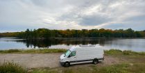
How-to convert and build a sprinter van into the ultimate adventure sport RV complete with a scuba diving equipment locker and tank storage.
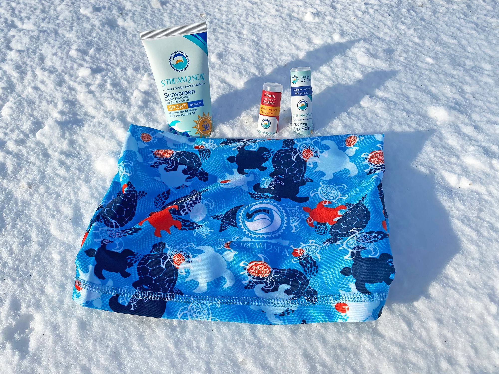
Trying out Stream2Sea's reef-safe sunscreen, lip balm and neck buff in the middle of a Canadian winter.
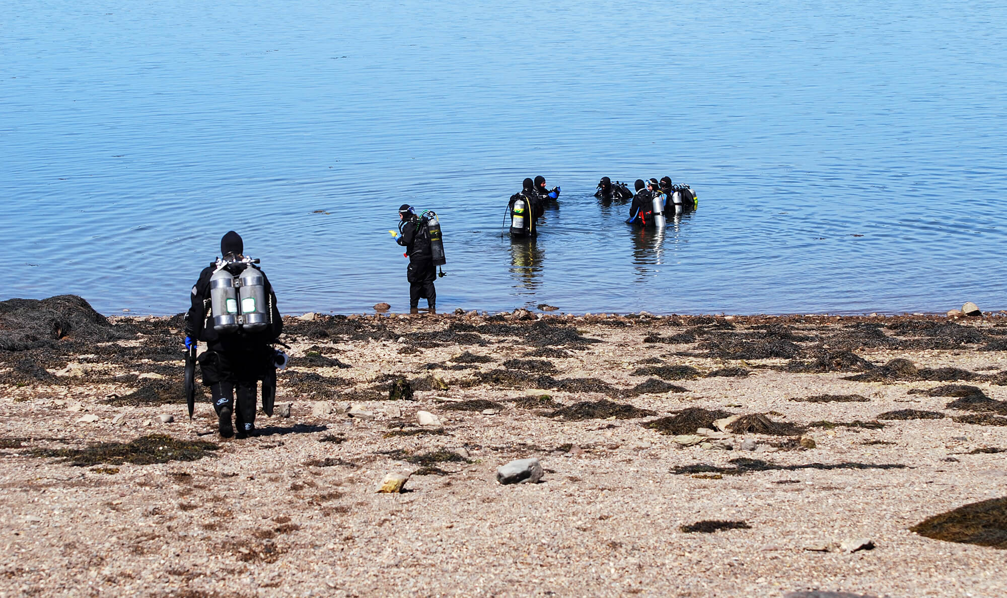
Canada is home to some of the most pristine and untouched underwater environments on the planet and with that in mind here is a sneak peek at underwater Canada in stunning photographs.
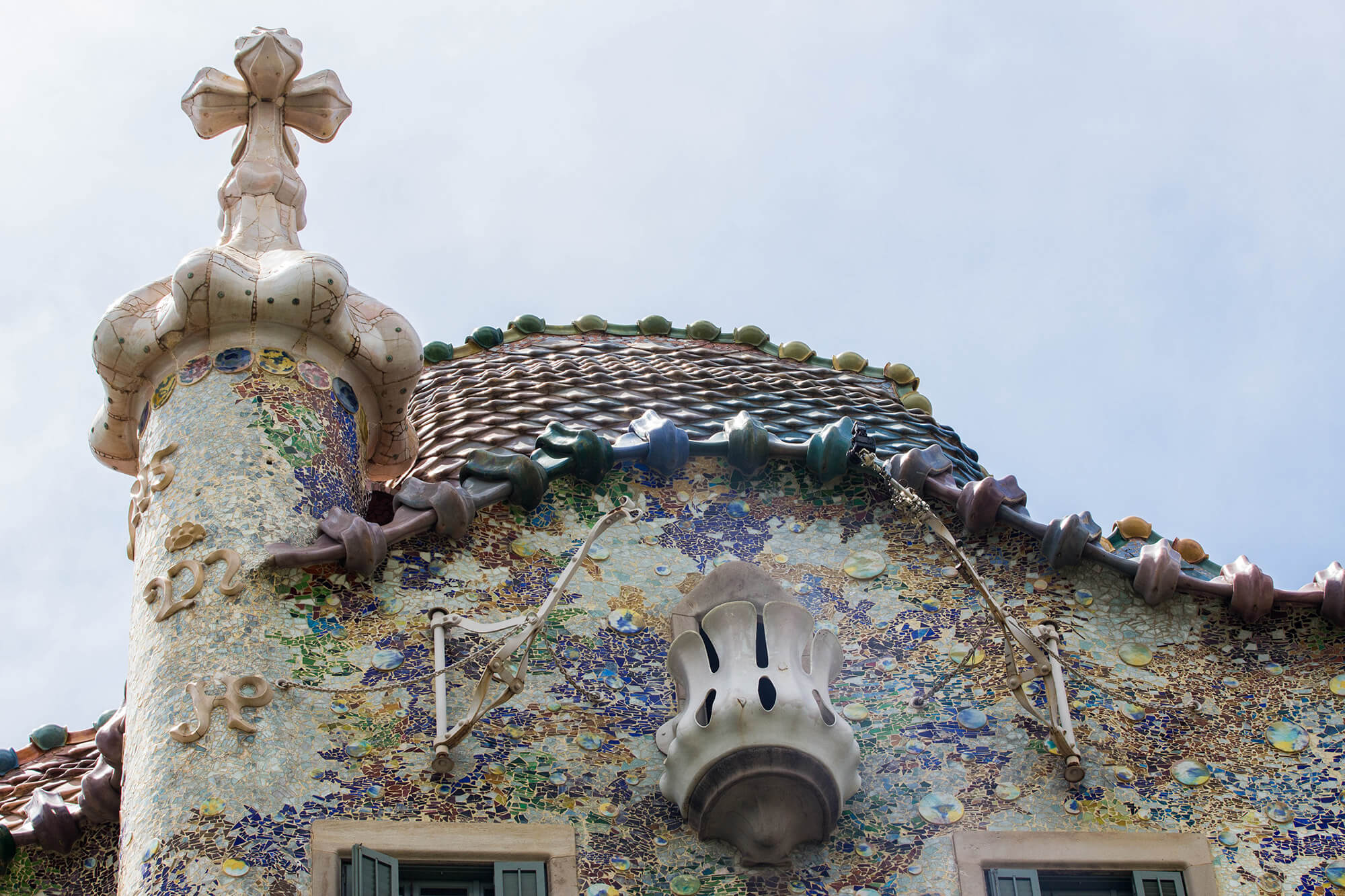
Spending the day walking the streets of Barcelona offers the perfect opportunity to see, feel and learn the local history and architecture in a single day.
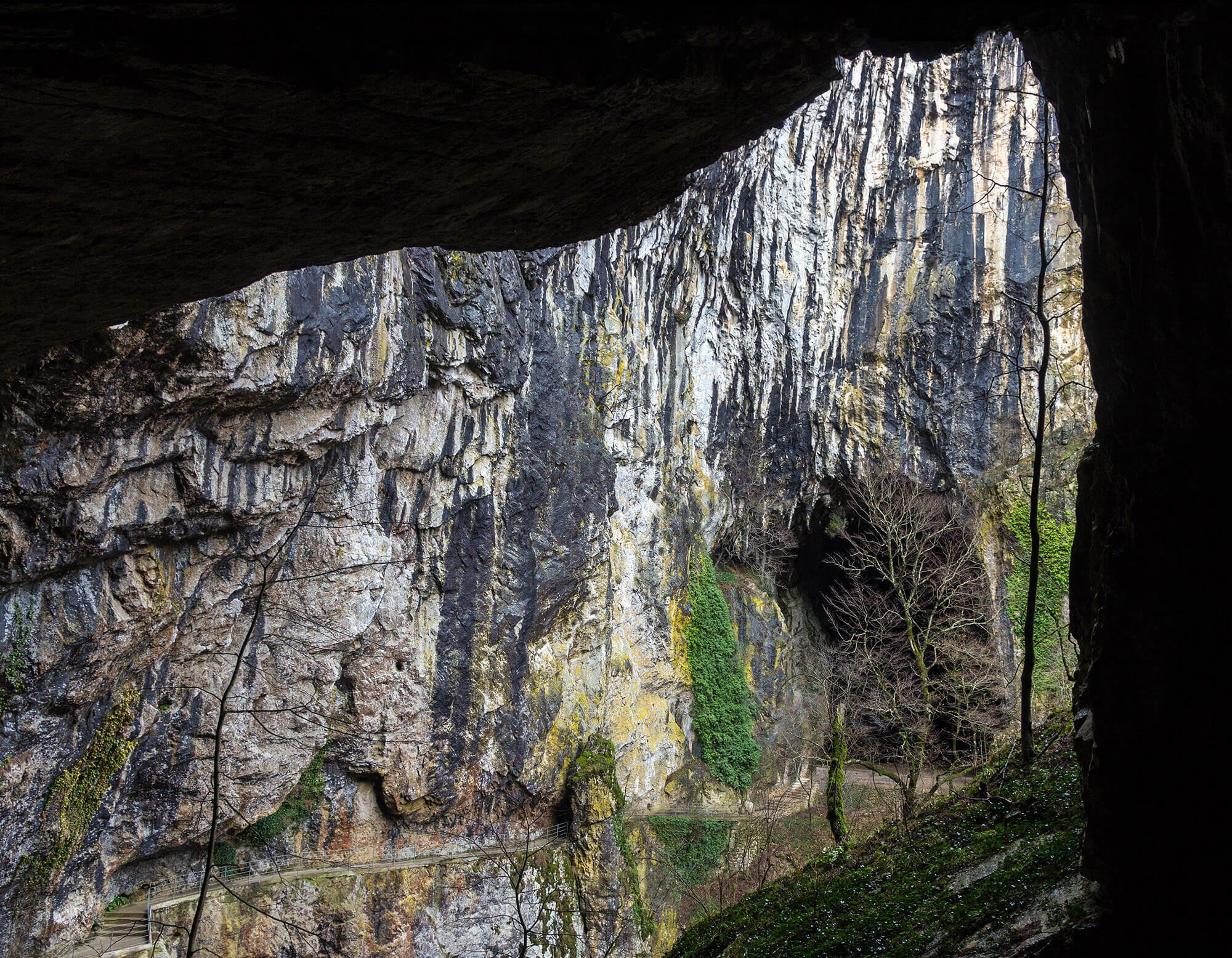
Famed for its caves, Slovenia's Karst region has some of the most unique underground systems in all of the Balkan countries. Join us as we venture into the heart of the Skocjanske James UNESCO cave.